See it. Hear it. Understand what changed.
AUGVIS AI™ turns voice, text, high-definition imagery and LiDAR into one interpretable intelligence layer—recognising what exists, where it is, and how it changes across space and time.
From raw signal to recognised meaning.
Audio, text, image and spatial inputs are processed in context and correlated to produce a clearer, traceable understanding of real-world conditions.
Accurate, time-coded transcription with speaker separation, specialist terminology, summaries and action extraction.
Interpret intent, key events, acoustic anomalies and contextual signals while maintaining a reviewable evidence trail.
Detect objects, scenes, text, markings and digital information across high-resolution images and video.
Turn dense point clouds into 3D structures, measurements, surfaces, terrain and spatial relationships.
Compare observations across hours, months or years to reveal deterioration, progress and emerging anomalies.
Link what was said, seen, read and measured into one event or asset-level operational picture.
Many signals. One operational picture.
Every conclusion remains connected to its source, position and timestamp for review, verification and action.
Voice, images, video, documents, LiDAR and metadata.
Speech, objects, text, geometry, events and conditions.
Synchronise sources by position, time, asset and event.
Identify relationships, anomalies and meaningful change.
Report, alert, route or integrate with operational systems.
Know exactly what changed—and why it matters.
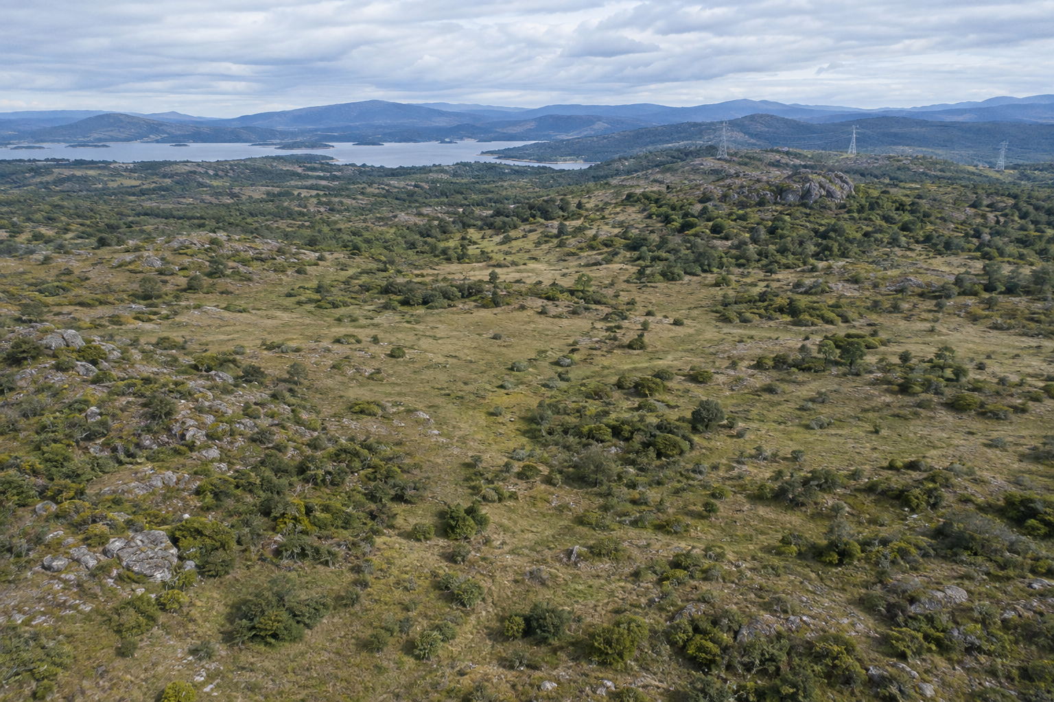
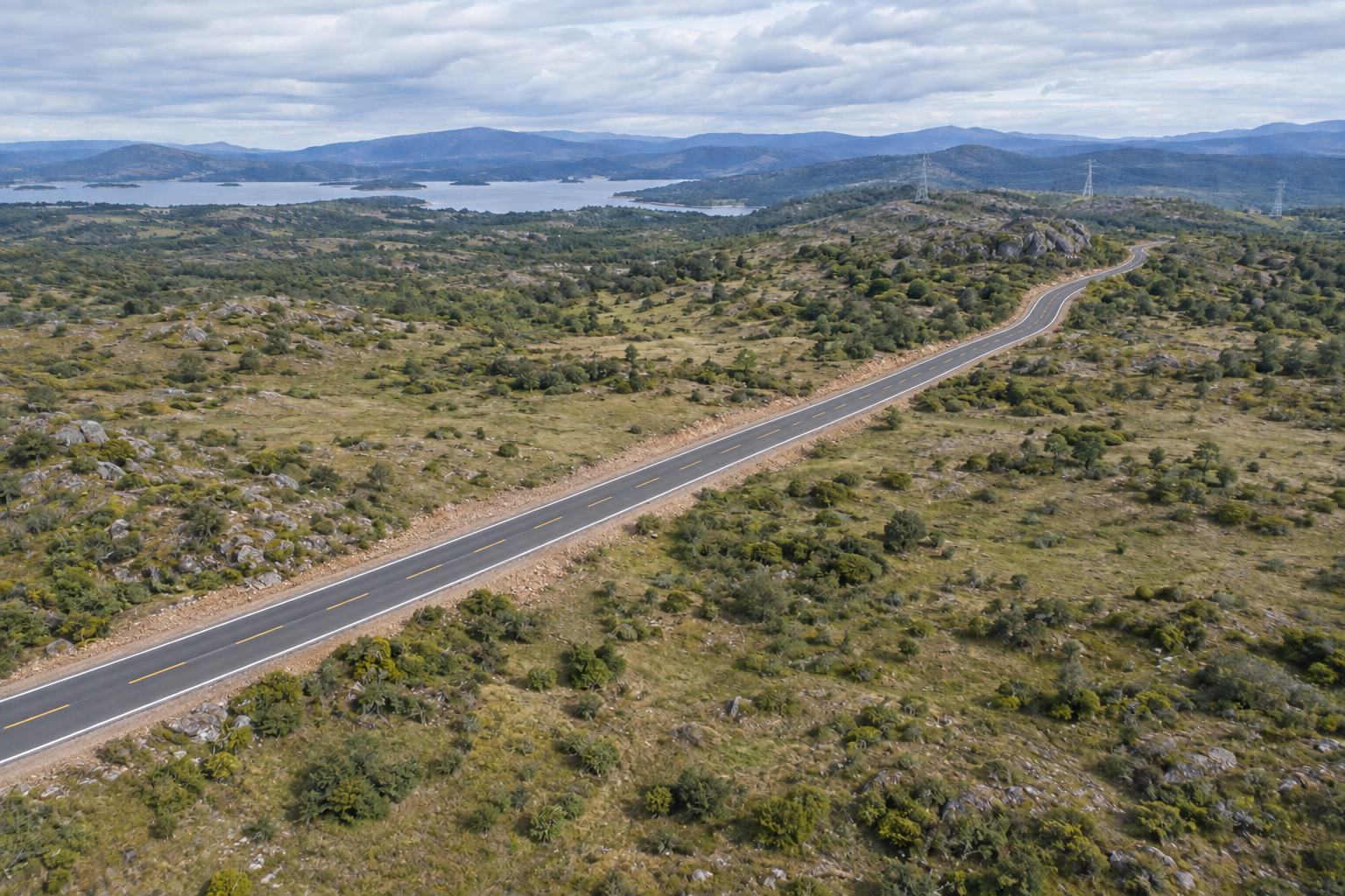
The aligned observations below show how AugVis identifies a newly constructed road as the material change between T0 and T1.
For environments where evidence matters.
Inspection, construction progress, deformation and asset condition.
Scene change, perimeter events and multimodal verification.
Quality observation, facility mapping and maintenance evidence.
Digital twins, spatial measurement and long-term change records.
What should AugVis help you recognise?
Describe the signals, environment and change you need to interpret. We will map the most practical multimodal approach.
Need broader workflow automation?
Visit SV-AI.io for AI-powered business automation, connected workflows, customer-service systems and operational efficiency solutions.